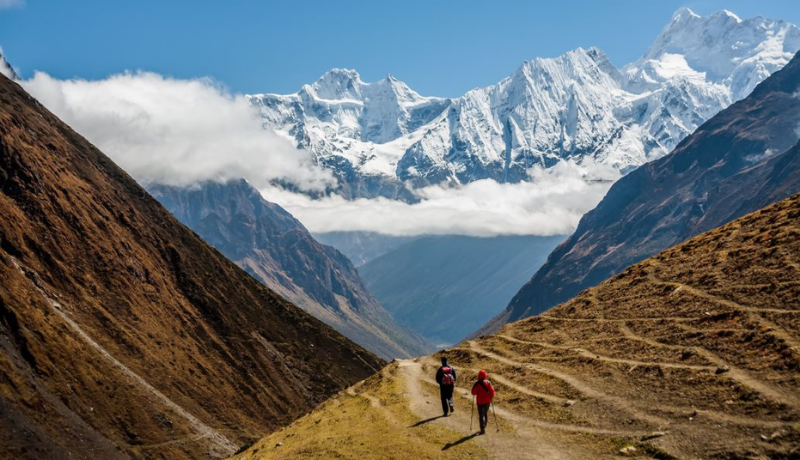
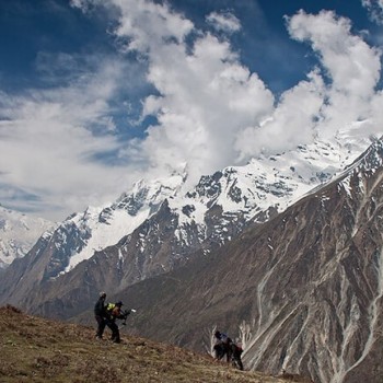
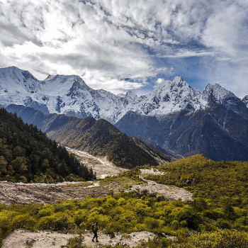
Today you trek for 3-5 hours to ascend 800m/2,600ft to get to Larkya La Pass (5160 meters). You will then descend for 3-4 hours losing 1,500m/4,900 in altitude to get to Bimthang(3720 meters). If the wind blows, it can get really cold along the way. You have to be extra careful if you encounter ice and snow along the way.
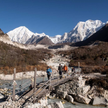
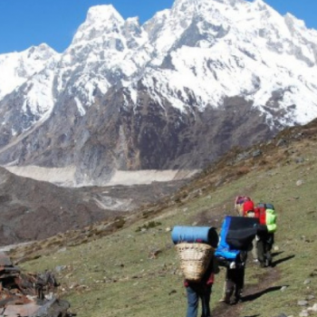
The trekking trail from Dharamsala takes you along a gentle ascent to a ridge. Then will be a long gentle climb to the moraine. The trail along the northern moraine of the Larke Glacier is not quite steep. However, the trek is quite long and rocky. So you might find this a bit challenging. From the glacier, you can see the Larke Peak (Larke Himal) and Pawar Peak (Cheo Himal) on the south and north of the glacier respectively.
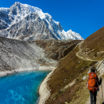
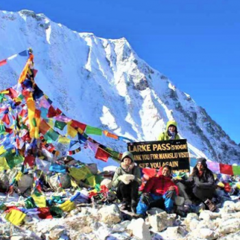
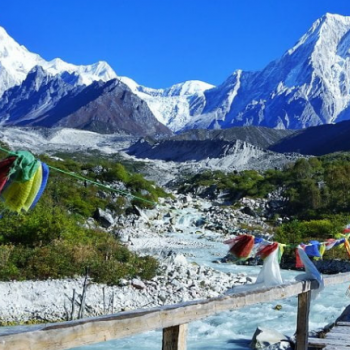
From the pass, you will trek uphill to an ablation valley. The trail then drops down to the first of four small scattered frozen lakes. As you trek uphill to the glacial moraine from the left, you will get to the first set of summit flags. The trail overlooks the Tibetan border ranges beyond Samdo Peak on the eastern side. There is a long moraine-ridge that is parallel to the Larke wall. A set of flags separates the Larke Wall. These flags are the markers of the border between the Manaslu and Annapurna Conservation areas.
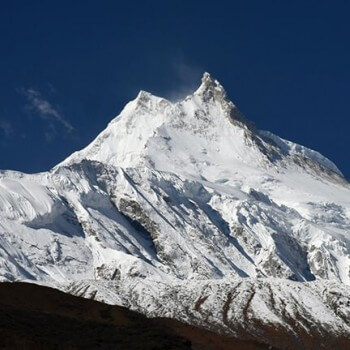
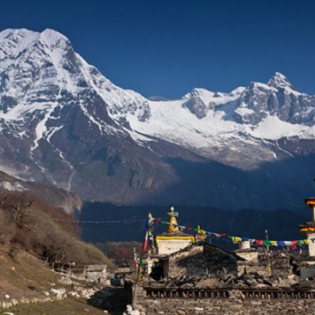
This place is a wonderful point to see the various peaks like Pawar Peak (6,620m/21,720ft), Cheo Himal (6,820m/22,376ft), the Himlung pyramid (7,126m/23,380ft), Gyaji Kung (7,030m23,065ft), Kang Garu (6,981m/22,905ft) plus Annapurna II (7,937m/26,041ft).
After spending some time in Larkya La pass, you will start your descent begins from these prayer flags. The trail descends steeply from the moraine. Then you will get to a set of steep zigzags until you reach Dangboche Kharka (4,450m/14,600ft). The trail from Dangboche Kharka is not really steep. The trail winds along the lateral moraine of the Salpudanda/Bimthang glacier before getting to Bimthang Valley.

