Description
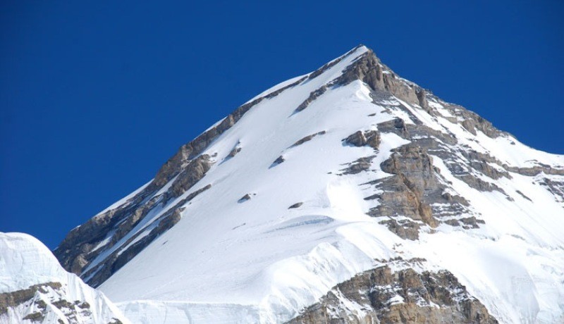
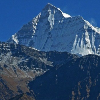
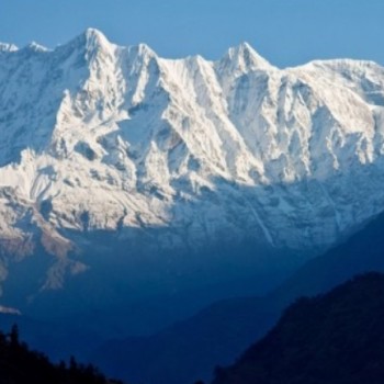
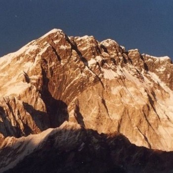
Ratna Chuli Mountain lies in a ridge running in a west-east direction, which forms the state border and the watershed between Yarlung Tsangpo in the north and Marsyangdi in the south. 11,83 km to the west is the 6889 m high Lugula Himal. The next highest mountain, the 7126 m high Himlung Himal , is 11.27 km southeast.
In 1996 a Japanese-Nepalese expedition (Santa Bahadur Ale, Durga Bahadur Tamang, Tul Bahadur Tamang, Katsuhiko Sawada and Osamu Tanabe) successfully climbed Ratna Chuli over the west.
Mount Ratna Chuli expedition starts from Kathmandu, five hour scenic drive takes us to Besi Shahar where we stop for overnight. Our trek commences from the classic Annapurna circuit route till Koto by local Jeep or Bus and then leaves towards the route Dharmasala/Meta, then to Nar Phu Valley, where we spend one day extra for proper acclimatization and local exploration. Next day we reached Ratna Chuli Base Camp. After setting up the Base Camp our strong Sherpa team of staff set up various upper camps, members have the chance to go up and down for proper acclimatization and we attempt a summit on a favorable day for everyone.

