Important Facts:
- Manaslu Circuit Trek, one of the most restricted trekking regions in Nepal
- Need a special permit including Manaslu Restricted Permit, MCAP, and ACAP
- Special Permit can only be made from a government authorized trekking company which has trekking license, a certificate from the central bank of Nepal, and Travel Insurance
Day 1: Drive to Soti Khola
Distance: 140 KM via Prithvi Highway
Drive duration: 6-7 hours
Altitude: 710 meter
Following Prithvi Highway – one of the popular highway in Nepal, where you can enjoy the view of green terrain, rivers, rice-fields, and a glimpse of mountains. After we cross the Dhading Besi, roads are quite gravel and rough. You will pass numerous top hills. The total drive time is of 6-7 hours long.
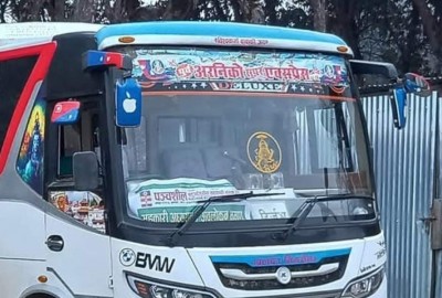
You have two vehicle options to reach Soti Khola. One is taking a local bus which leaves around 7 am from New Bus Park. Usually, it takes 7-8 hours drive to reach our destination. The local bus stopped at multiple stations to pick up and drop the passengers.
Another option is to reserve a private four-wheel jeep. It generally accommodates 5-6 person. The drive is quite fun and relaxing.
Day 2: Trek to Machha Khola
Distance: 14.5 KM
Trek duration: 4-5 hours
Altitude: 930 meter
After having breakfast, we will start our first day of trekking. We will follow the newly opened road, pass suspension bridge, through a forest, local village and Budhi Gandaki river. Till now, the path is quite easy. But, after we reach Khursani bari, the new path is moderate. You will get to view sal forests and natural waterfalls.
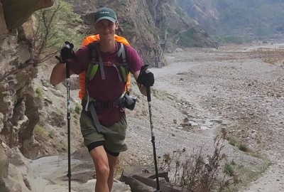
Walking a sandy river bed, and stone-made ridges for around 2 hours. Now, you will acquaintance with Gurung village named Machha Khola.
Day 3: Trek to Jagat
Distance: 12 KM
Trek duration: 5-6 hours
Altitude: 1380 meter
Today, we will follow the trekking path and reach Korlabesi. Now, the trekking path is step-up until natural hot spring. We need to cross the suspension bridge and climb stone stairs to reach Dovan. We will continue following the Budi Gandaki river and cross one of the unique bridge using Cantilever technology which was constructed after the 2015 earthquake. The trail is the 195-meter metal path along stone cliffs at Yaru Bagar. Ascending towards a small village and crossing a landslides areas, will reach to Jagat.
Most of the houses are made up of stones around Jagat. There is a checkpoint for checking Manaslu Special Permit. We will stay overnight in Jagat.
Day 4: Trek to Deng
Distance: 11 KM
Trek duration: 4-5 hours
Altitude: 1850 meter
Start today’s trek with an amazing view of Shringi Himal. Trekking path descends and follows Buddhist mani walls, green fields, hills, forest and numerous small villages – Salleri, Sirdibas, Eklebhatti, Nyak, Phillim and then reach our final destination Deng.
Day 5: Trek to Namrung
Distance: 14 KM
Trek duration: 6-7 hours
Altitude: 2550 meter
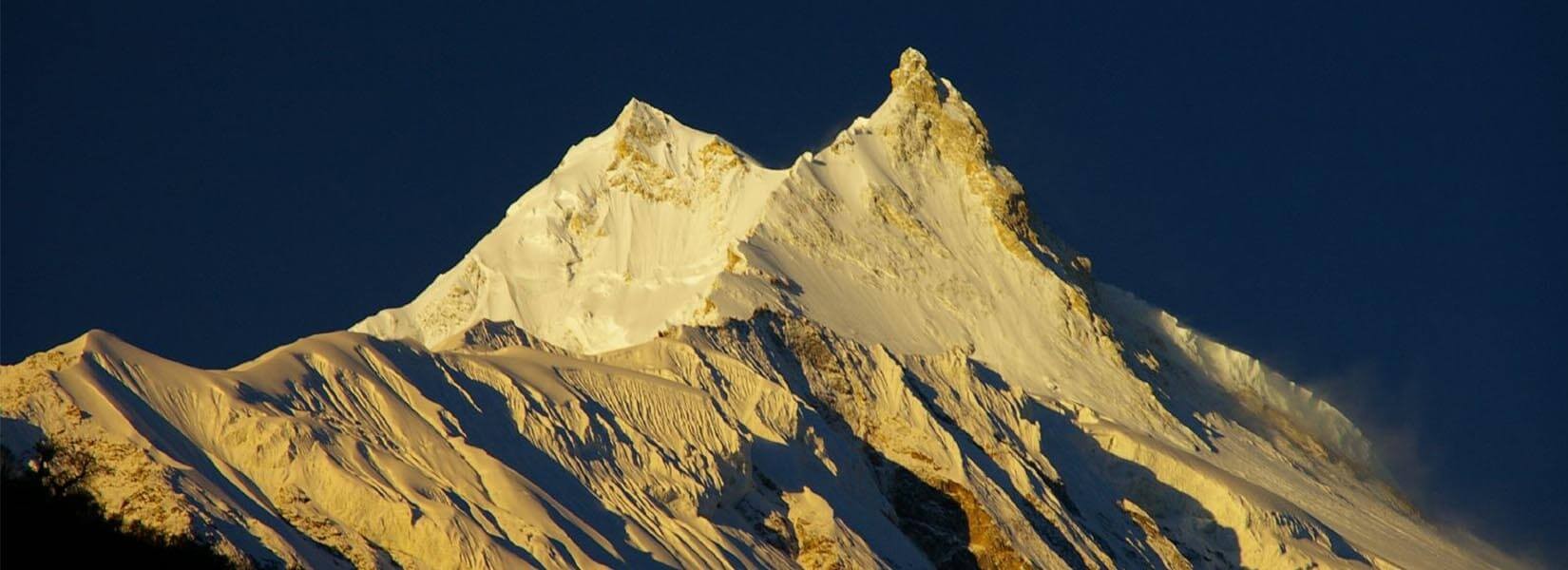
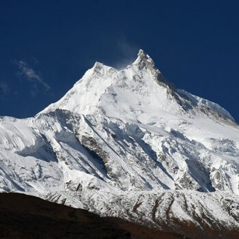
We start our trek almost on a flat leveled path and then the trail ascends to Namrung through lush forest. From here, we can enjoy the view of Mt. Manaslu, a green valley, and ridges.
Namrung is a Buddhist village where it consists of Buddhist monasteries, a water turbine hydro electricity powerhouse, mani walls, small stupas and prayer flags fluttering in the sky.
Day 6: Trek to Sama Gaun
Distance: 16 KM
Trek duration: 7-8 hours
Altitude: 3520 meter
From Namrung, we will follow a steep-up path through forests take us to Lihi, a village well known for its stupas and barley terraces. After crossing the side valley of Simnang, we will pass through Sho and then reach Lho.
Crossing the Shyala village, we will reach to the Sama village where one gets to witness the amazing views of Mount Manaslu and explore the famous Ribung Gompa. The breathtaking view of the high mountains along with glaciers, flat terrain, farmland is the highlight of Sama Gaon. It is also the practice destination for many climbers to summit Mt. Manaslu.
Day 7: Acclimatization
This special day has been reserved for acclimatization. We will take a side-trips around Birendra Lake, Manaslu Base Camp (4900m), and Sama Gaun Monasteries. Later, will be back to Sama Gaon for overnight.
Day 8: Trek to Samdo
Distance: 6 KM
Trek duration: 3-4 hours
Altitude: 3875 meter
Today’s trekking route is all of the desert path and windy valley. You can see the Tibetan border, which is just four kilometers away from Samdo, but visitors are not allowed to pass the border.
After we reach in Samdo, there is a Tibetan refugee village. This is an excellent viewpoint for Mt. Manaslu, Samdo (Pang phuchuli), Nagdi chuli, Simnang Himal, Manaslu glacier, Manaslu ice fall, and several other amazing peaks.
Day 9: Trek to Dharmashala
Distance: 7 KM
Trek duration: 4-5 hours
Altitude: 4460 meter
We will be crossing a wooden bridge over a Budi Gandaki river and path ascend gently. After we arrive in Dharmashala, you can view green terrain fields, mountains, and Larkya glacier.
Our night will be spent with a perfect view of the mountains from the teahouse window. In peak season, we need to stay in a tent due to the crowd and insufficient room.
Day 10: Trek to Bimthang via Larkya La
Distance: 13 KM
Trek duration: 7-8 hours
Altitude: 5106 meter
Larkya La Pass
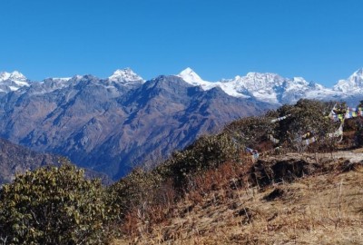
Today is our dream day to reach in the highest destination during Manaslu Circuit Trek – Larkya La (5106m). From the apex, we can enjoy the views of Larkya peak, Mt. Manaslu, Ratna Chuli, Cheo Himal and many other flakes of snow-capped mountains and peaks.
The trekking path is quite dynamic after we cross Larkya La. Route follows step descends and passes the icy lake and a rugged trail. You need to wear warm clothes before reaching to Larkya La. The temperate decreases suddenly and feels cold. Finally, we will reach to Bimthang for overnight.
Day 11: Trek to Dharapani
Distance: 19 KM
Trek duration: 6-7 hours
Altitude: 1900 meter
Today is the last day of trekking. We will begin our trek by descending a high pasture land, a suspension bridge over Dudh Khola, rhododendron (spring season) and oak forests. You can capture amazing landscape pictures while passing this trek route. After walking 6-7 hours, we will reach to Dharapani.
Dharapani is situated in the Annapurna region. It is a popular gateway to Annapurna Circuit Trek. If you want to extend your trip, then you can continue for Annapurna Circuit Trek without any permit difficulties.
Day 12: Drive to Kathmandu
Distance: 195 KM
Drive duration: 8-9 hours
Altitude: 1320 meter
After having breakfast, we will get ready for a long drive to reach Kathmandu. Normally, it is of 8-9 hours drive on a local bus. Whereas, the private jeep will take a short time (6-7 hours). Along the drive, you can view green hills, mountains, farming terraces, and local villages.
Foods & Accommodation
Teahouse will have one dining hall, a room with twin sharing basis, bathroom on sharing, shower on sharing.
Most of the foods like Nepali Dhal Bhat, pizza, macaroni, chow mien, momo, fried rice, and spaghetti are available on all season. Foods have a decent taste which totally depends on teahouse to teahouse. In drinks, you will get coffee, masala tea, ginger tea, hot chocolate, lemon tea
Trekking Clothing and Gears Checklist
Clothing:
- Thermal Hiking Pants
- Thermal Jackets
- Trekking Boots
- Waterproof jacket
- Trousers
- 2 pairs of wool-blend socks
- 2 pairs of running socks
- T-shirts
- Warm Jacket
- Down jacket
- Woolen hats
- Woolen gloves
Gears:
- Hot water bottle
- Sleeping bags
- Trekking Poles
- Sunglasses
- Head Light
- Torch
- Backpack with cover
Note: You can rent most of the gears needed for Manaslu Circuit Trekking. Gears like a Sleeping bag, trekking poles, tent, boots, jackets can be rent in Kathmandu by paying a nominal fee of around USD 1.5 per day.
Manaslu trekking itinerary can be extended by adding a side-trip to Tsum Valley. For that, contact us for further queries. We will respond immediately.

